
Back to the PCT
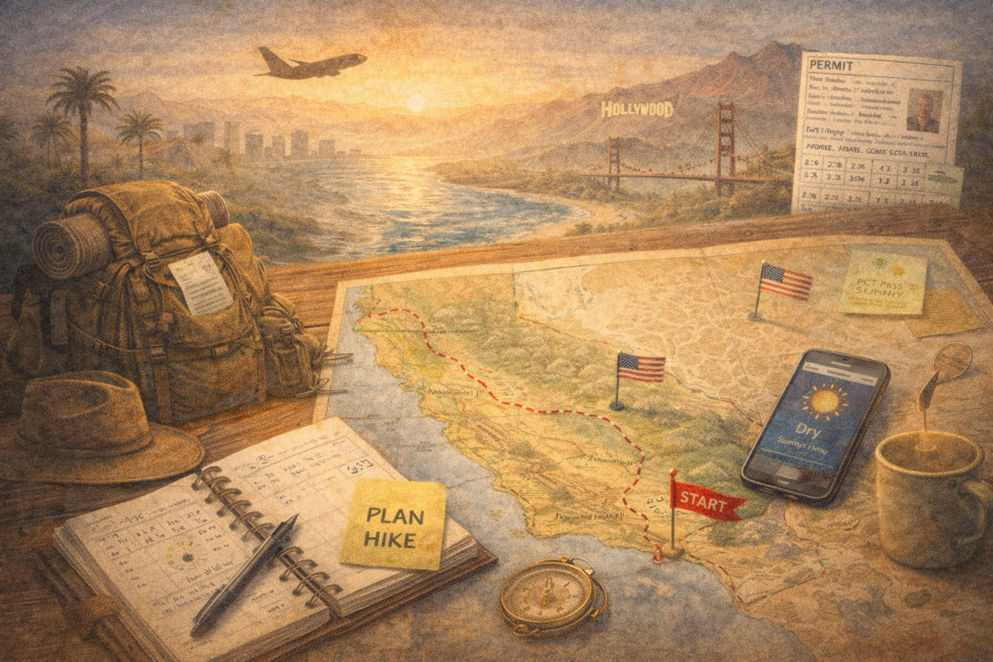
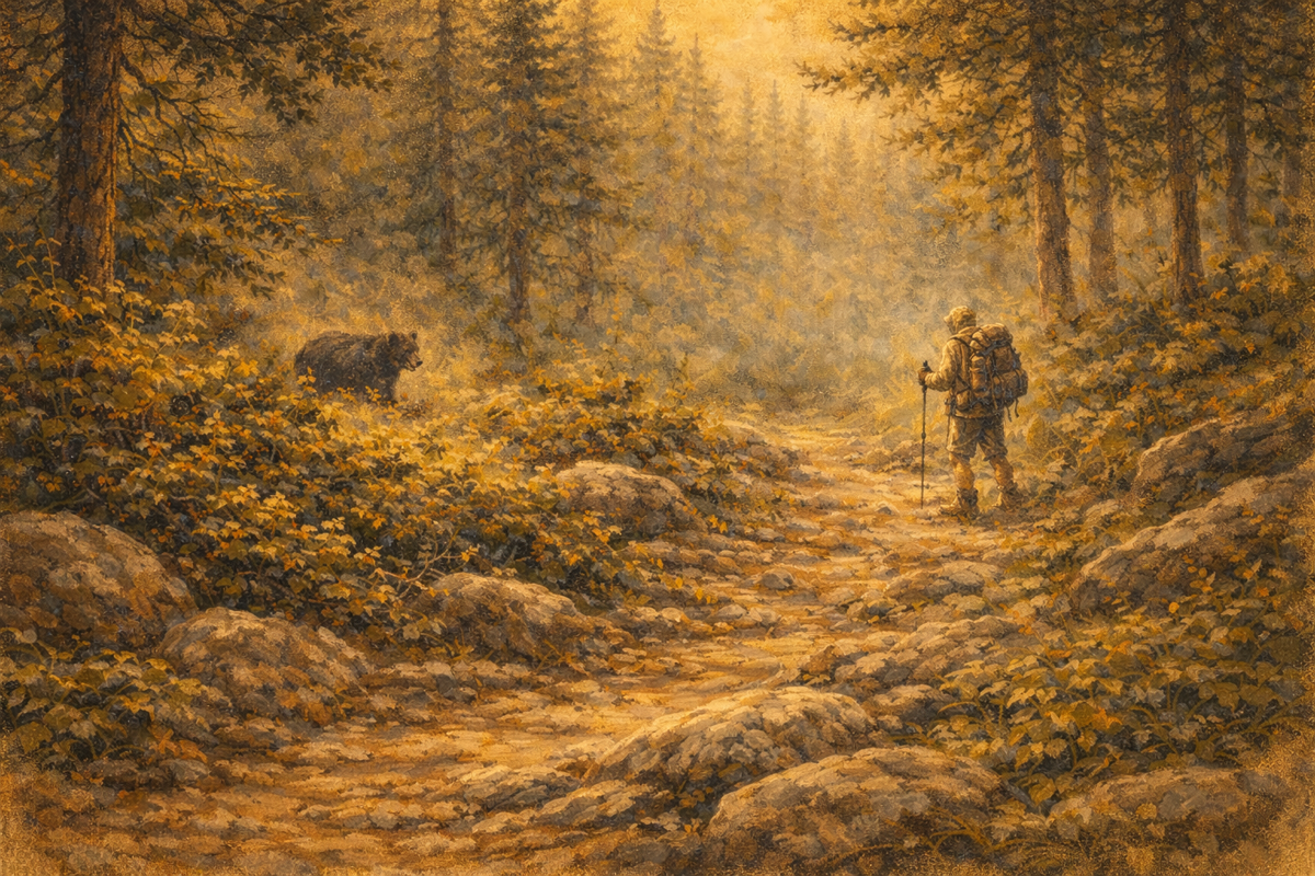
I’ve signed up for the PCT again. And yes, it’s still nerve-wracking to
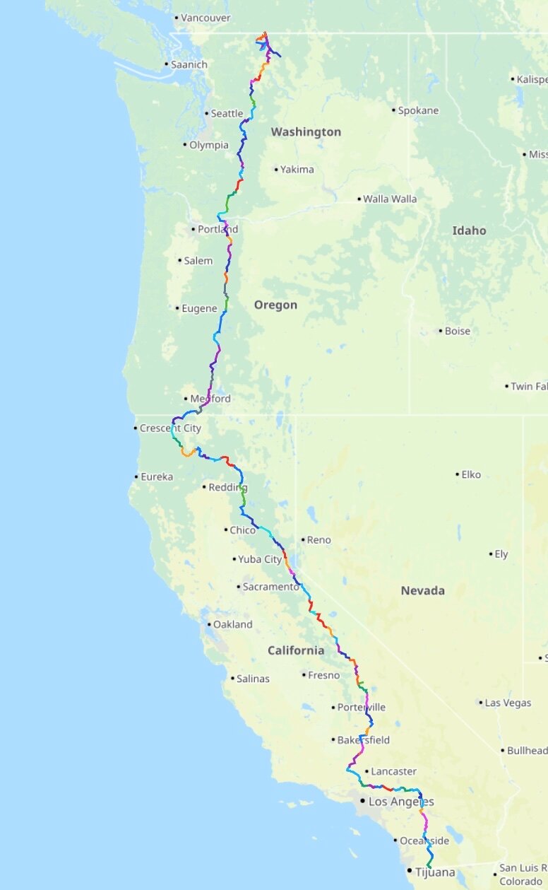
Once the route is mapped out, the numbers start to sink in. A total of 4,460 kilometres, with roughly 204 kilometres of combined ascent and descent. That adds up to quite a few Mount Everests stacked on top of each other 🤔
The highest point in the United States isn’t technically on the PCT, but sits about 24 kilometres east of the High Sierra. Mount Whitney rises to 4,421 metres — and of course, I’m not going to pass that by. It will mean a two-day out-and-back, but some detours are simply worth taking.
And then comes the question 😳
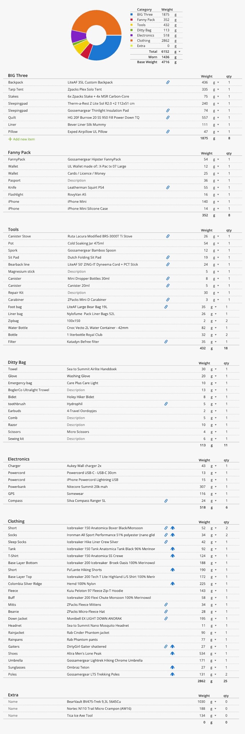
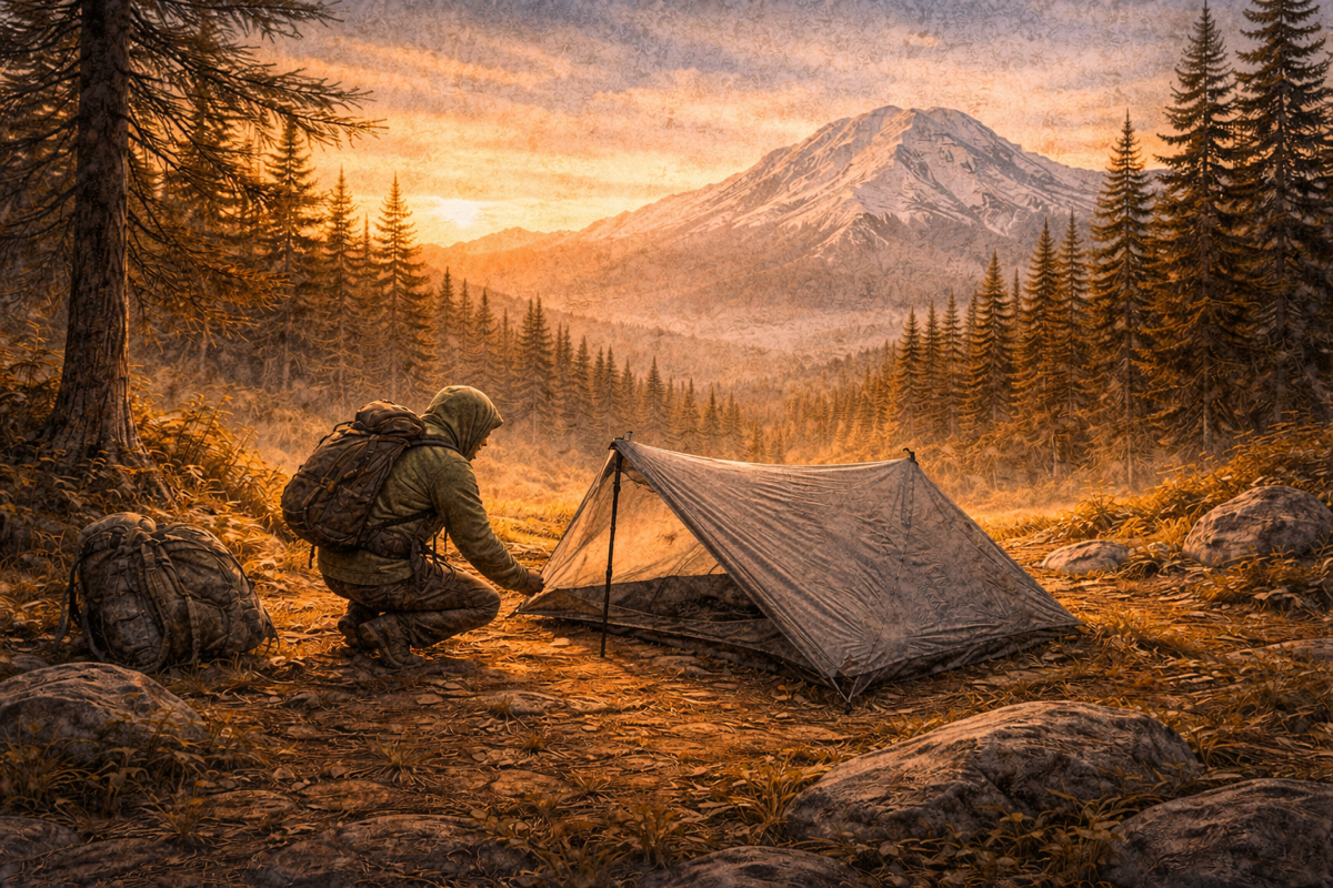
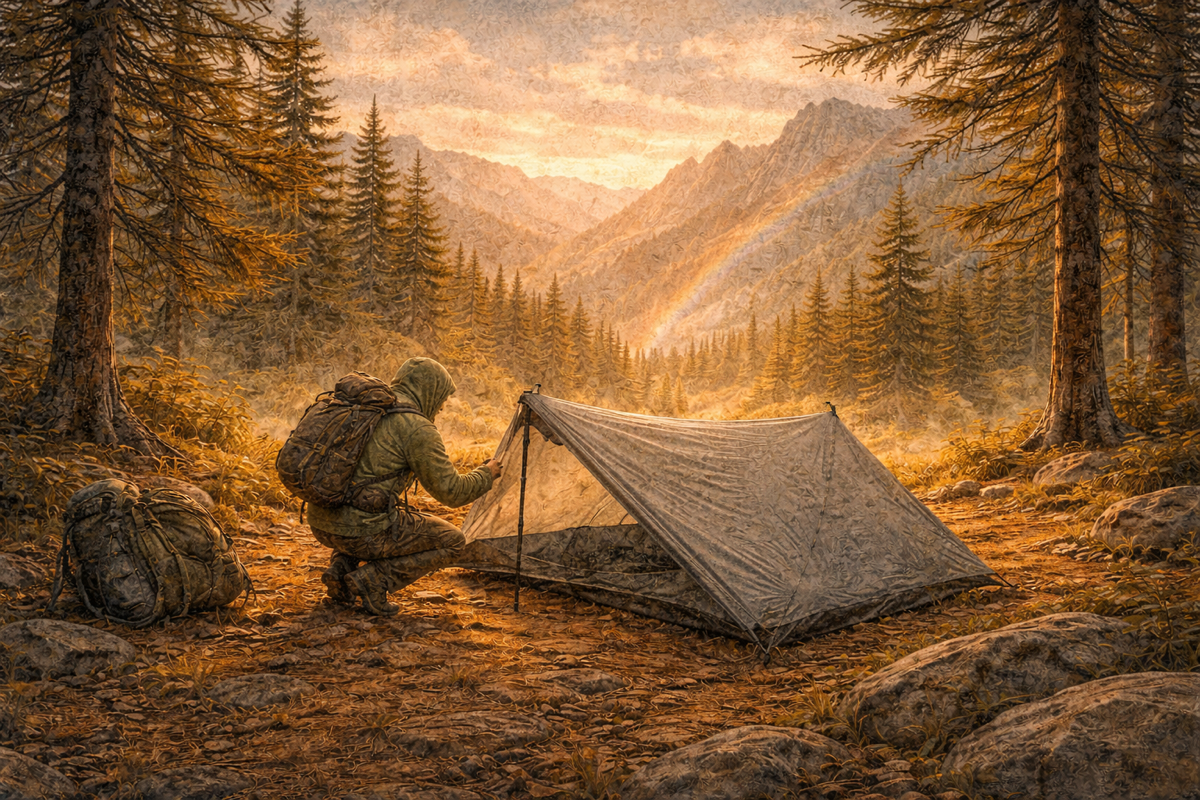
What do you actually bring on a journey like this? 🤔
subscribe for occasional stories from the trail

Member discussion