
Back to the PCT
I’ve signed up for the PCT again. And yes, it’s still nerve-wracking to
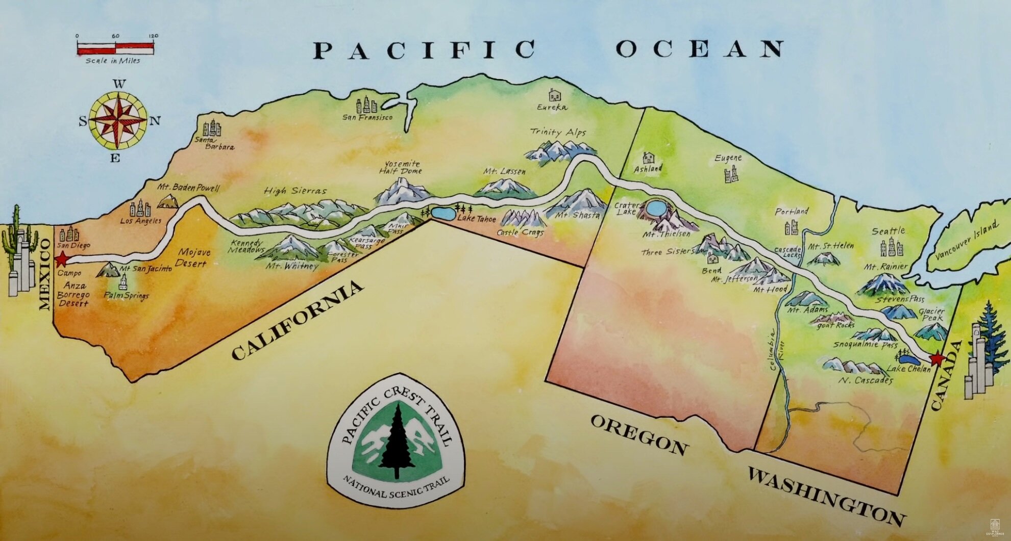
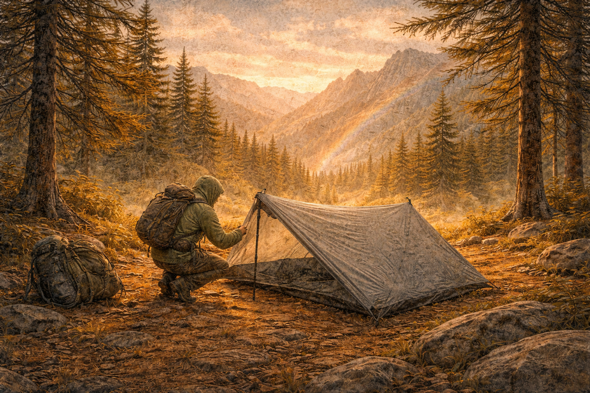
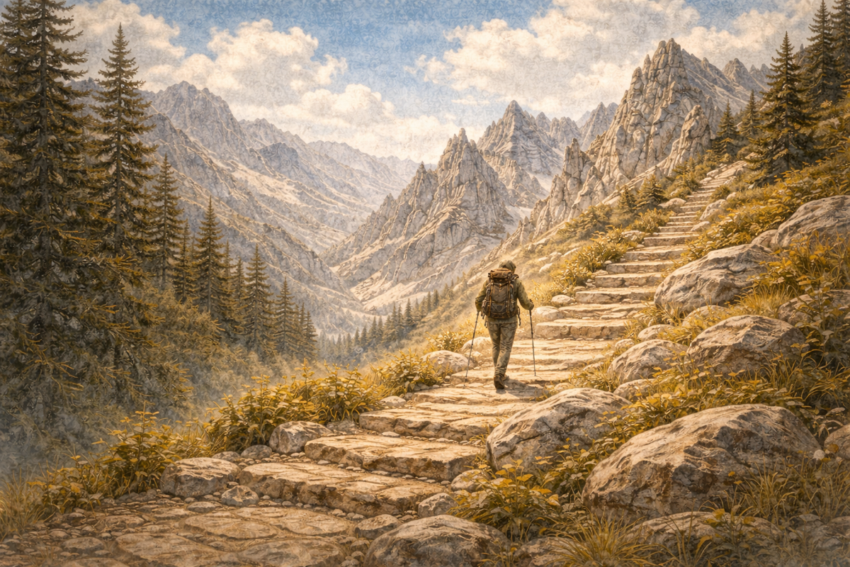
The Pacific Crest Trail (PCT) is a 4,286-kilometre long-distance trail following the highest parts of the Sierra Nevada and the Cascade Range, roughly 160 to 240 kilometres east of the U.S. Pacific coast.
The trail begins in Campo, California, at the Mexican border, and runs through twenty-five national forests, seven national parks, and multiple protected wilderness areas before ending just across the Canadian border in Manning Park, British Columbia.
With an elevation range of roughly 4,000 metres and its highest point at Forester Pass, most hikers walk the trail from south to north, depending on the season.
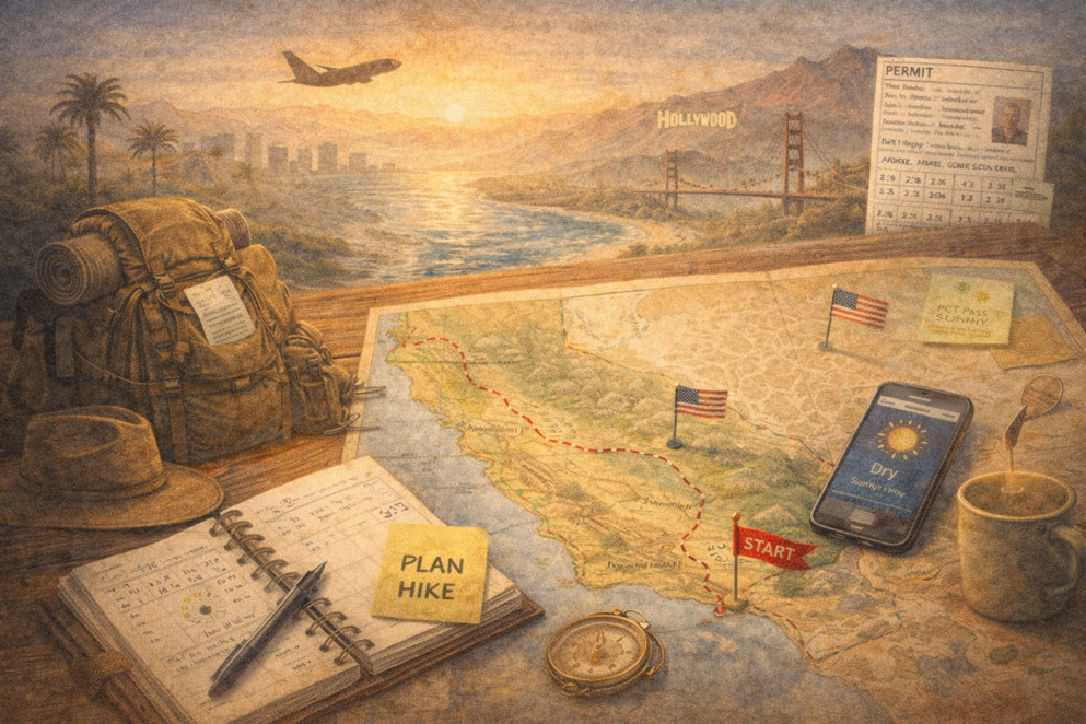
To get a permit, you have to register through the PCTA website. There’s only a single day to do so, which means I’m sitting behind my computer at exactly the right moment, hitting refresh over and over until the browser finally lets me through to the registration form.
Now comes the waiting. Waiting until November 14. That’s when a date is assigned and I’ll find out whether it worked or not.

subscribe for occasional stories from the trail

Member discussion