
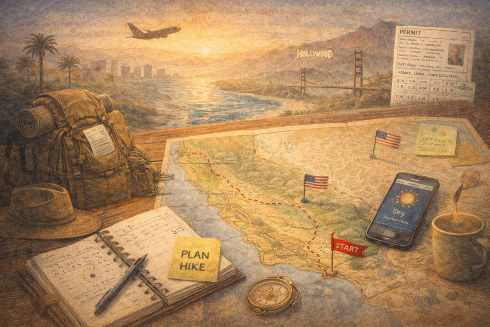
Back to the PCT
I’ve signed up for the PCT again. And yes, it’s still nerve-wracking to
8:03 AM
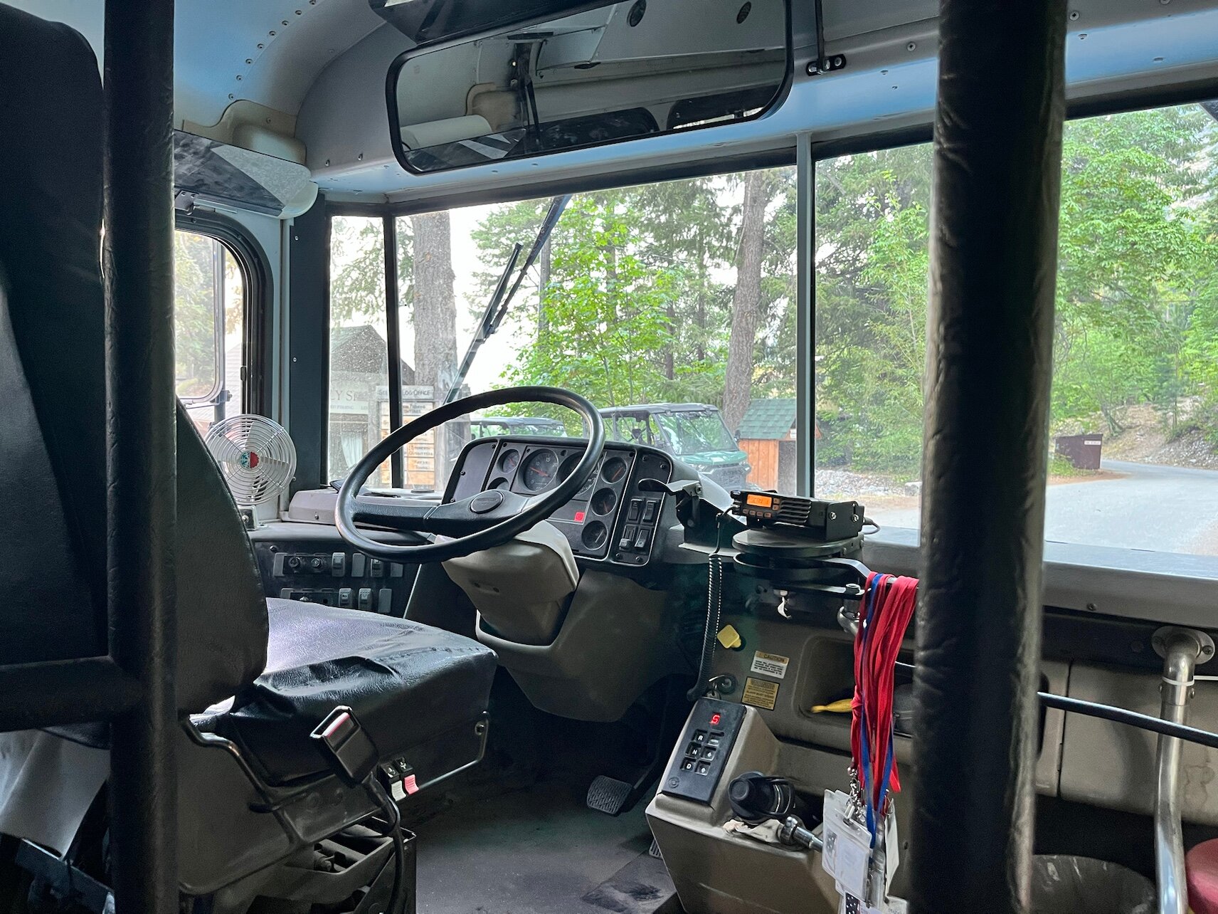
The shuttle bus to the PCT leaves at 8:00 AM, so I’m waiting comfortably. An Asian-American man approaches me and asks if I’m heading south. Yes, that’s the plan.
He tells me that a small fire started due to thunderstorms and that he turned back because of it. I had about 15 minutes to figure out which fire this was. On the PCT website I couldn’t find much, and on the wildfire overlay maps I did see fires—but not on the trail.
After asking the driver, it turns out he doesn’t know anything either, and there are no notices posted. So I decide to stick with my original plan.
I’m the only passenger on the bus, and during the ride the driver gives me a full historical overview of the valley and Stehekin.
He stops at the bakery, and I get the chance to grab a cup of tea and a sandwich.
9:09 AM
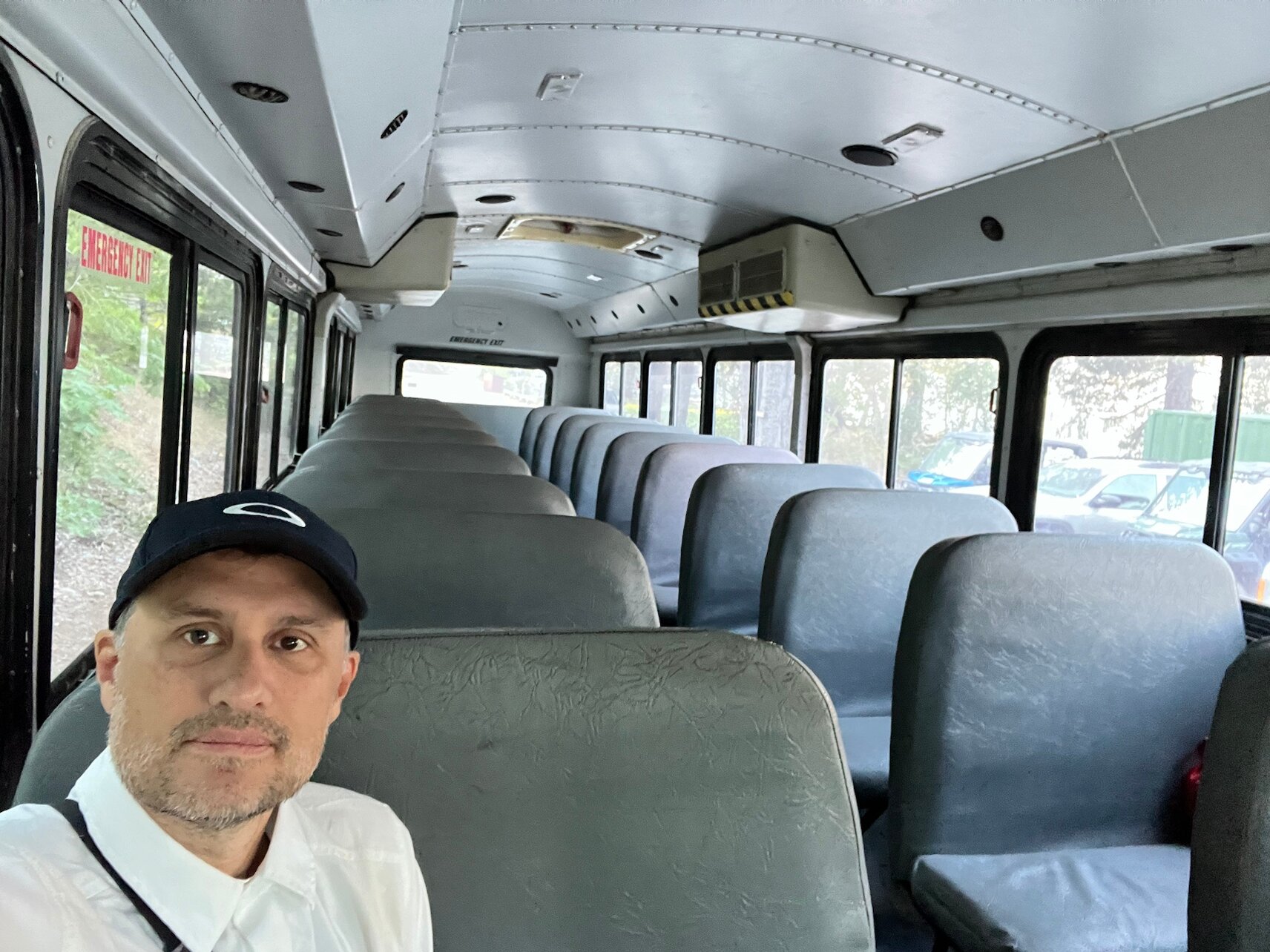
Arriving at the trailhead, I see Lady Dundee and Amanda waiting for the bus to Stehekin. They also tell me the trail is closed, but I really can’t find any confirmation of that. We exchange phone numbers so we can message each other and stay informed. Even the bus driver writes down my name so he knows who is heading into the wilderness.
Still, I stand my ground: as long as I don’t see any tape or barriers, I consider the trails open.

9:12 AM
It should cool down a bit over the next few days, which is about time—these high temperatures are not great for hiking.
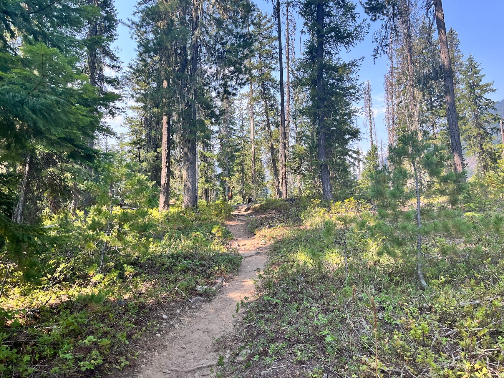
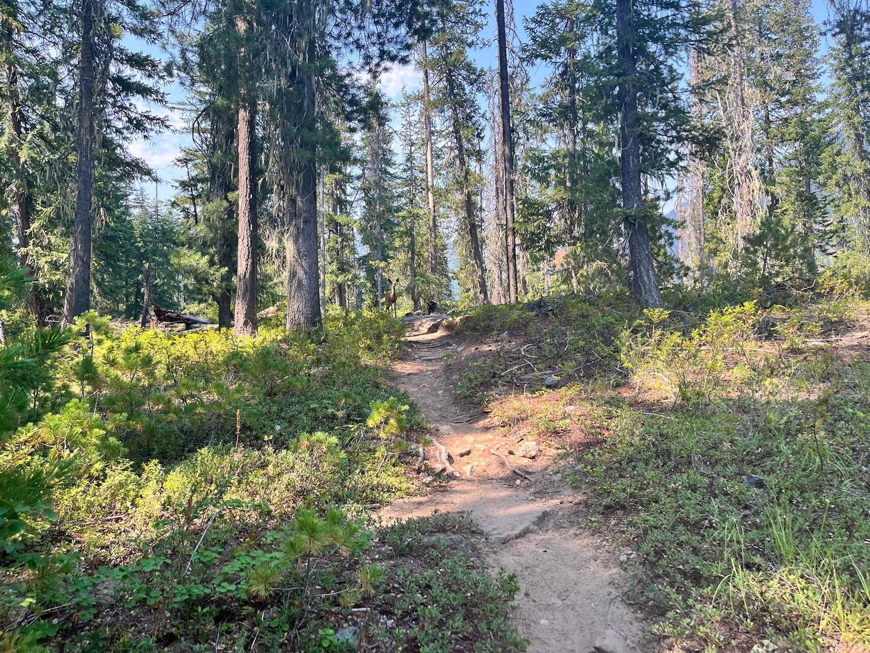
10:53 AM
Bambi is standing right in front of me, tail wagging—but when I get a little too close, it suddenly feels too tense.
I meet three NOBO girls. They haven’t had any problems since Stevens Pass. I send a message to Lady Dundee, but she lets me know that Stehekin is being evacuated and that they’re taking the ferry to Stevens Pass.
Later, I meet two more NOBOs, and they also say they haven’t heard or seen anything. That reassures me—onward to Stevens Pass.
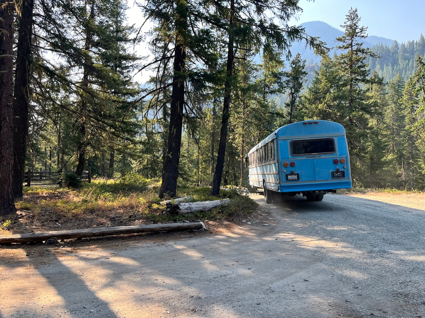
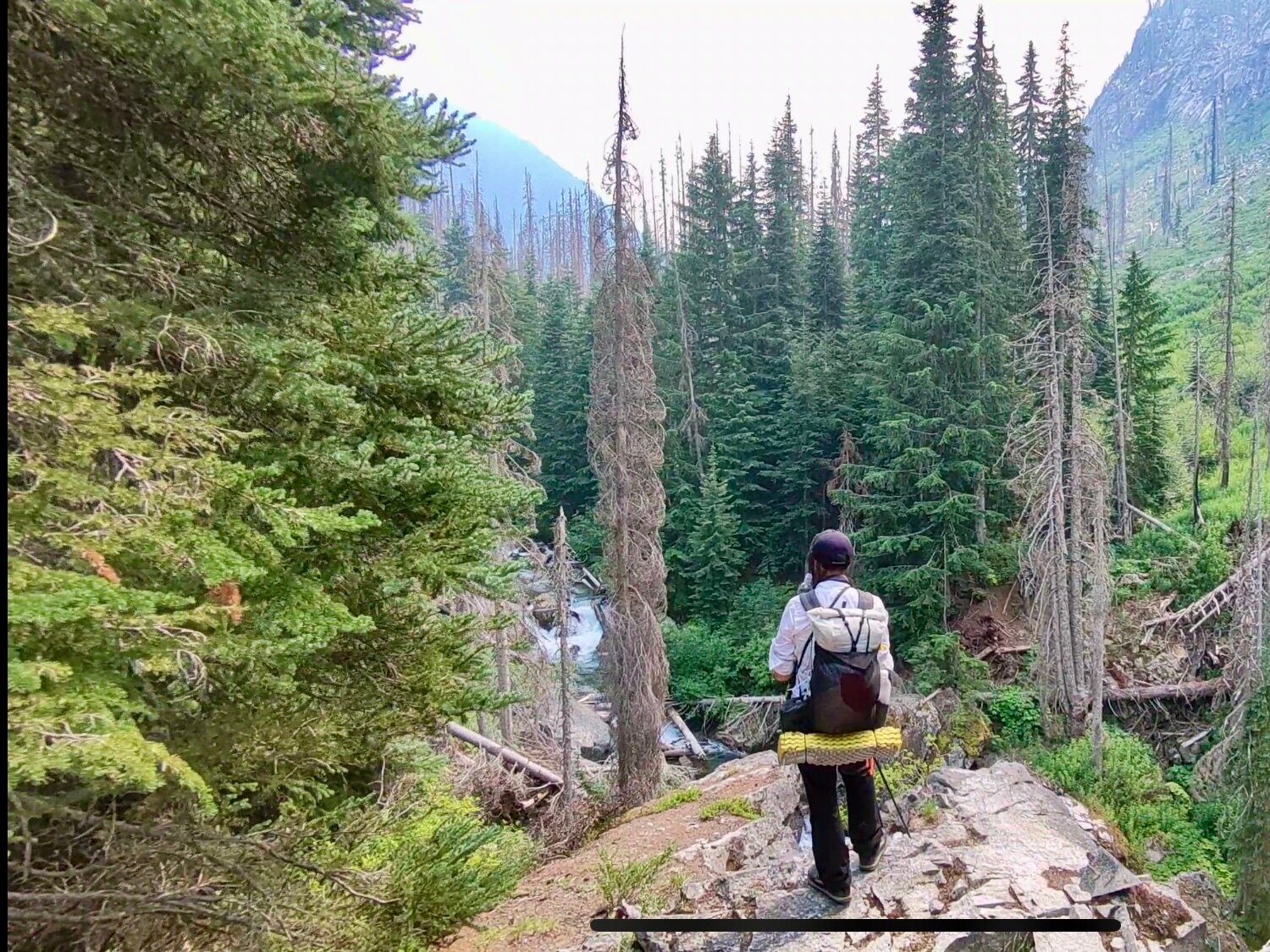
My backpack is heavy due to a new food resupply. This is probably the longest stretch, carrying food for six days.
11:32 AM
The little bridges are made from fallen trees with a small handrail you really shouldn’t trust too much. It’s smarter to look ahead and just keep walking.

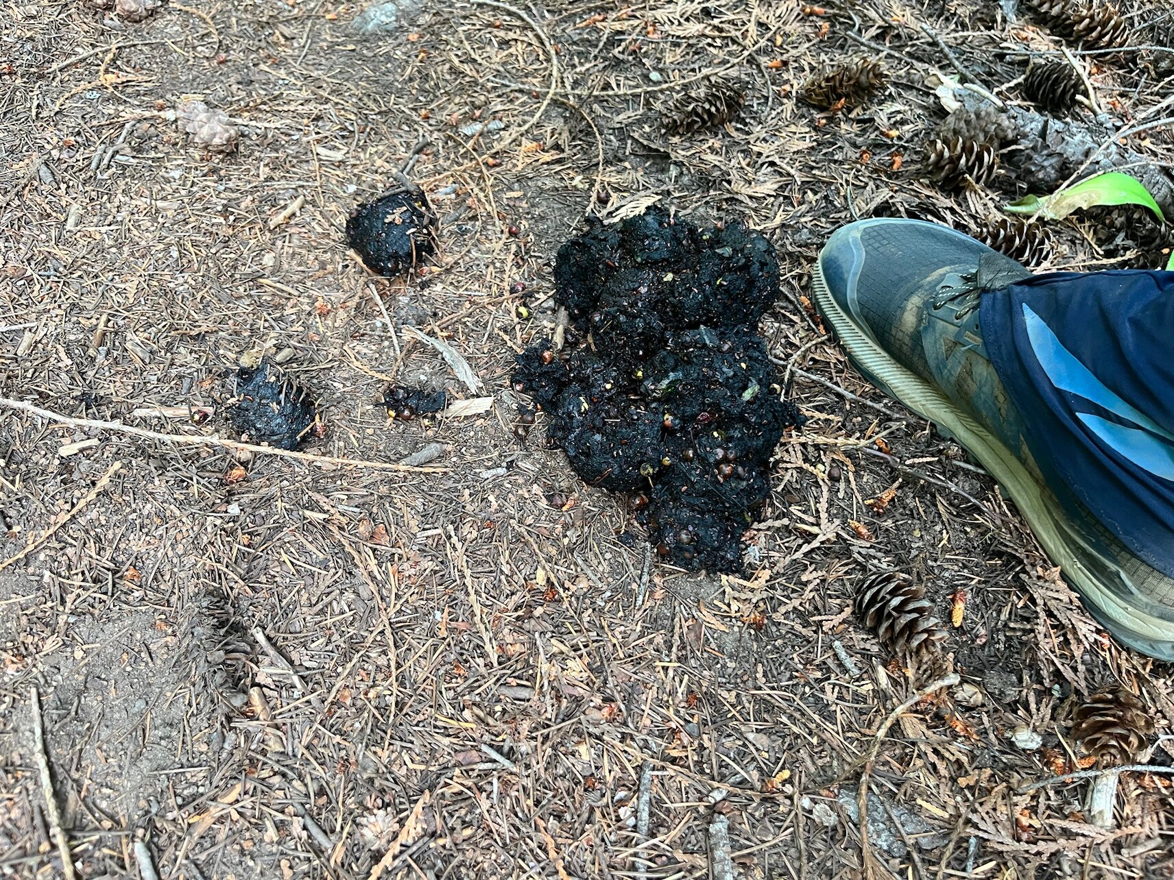
11:48 AM
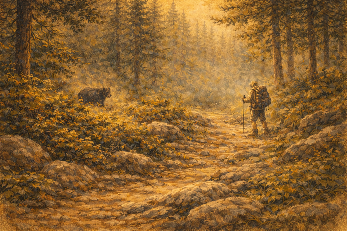
This bear wasn’t a small one. Hopefully it’s already far away, because the tracks still look pretty fresh.
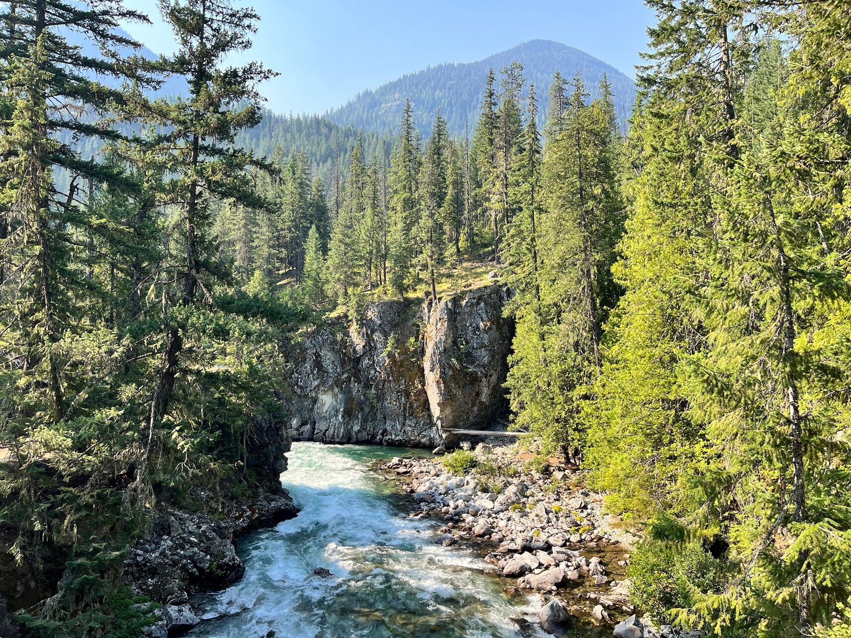
12:05 PM
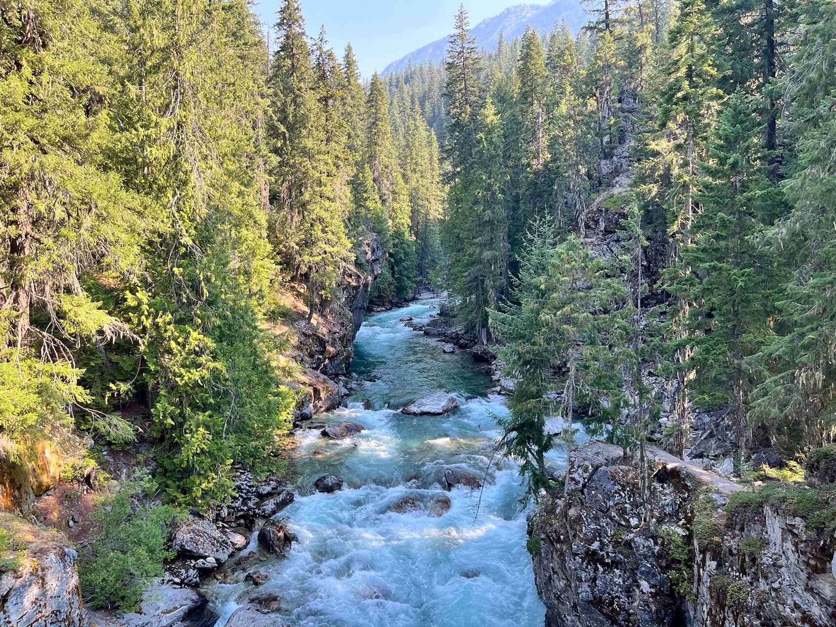
Wow—this is what you do it for. Thundering waterfalls carve their way through narrow gorges. It’s deep—very deep!
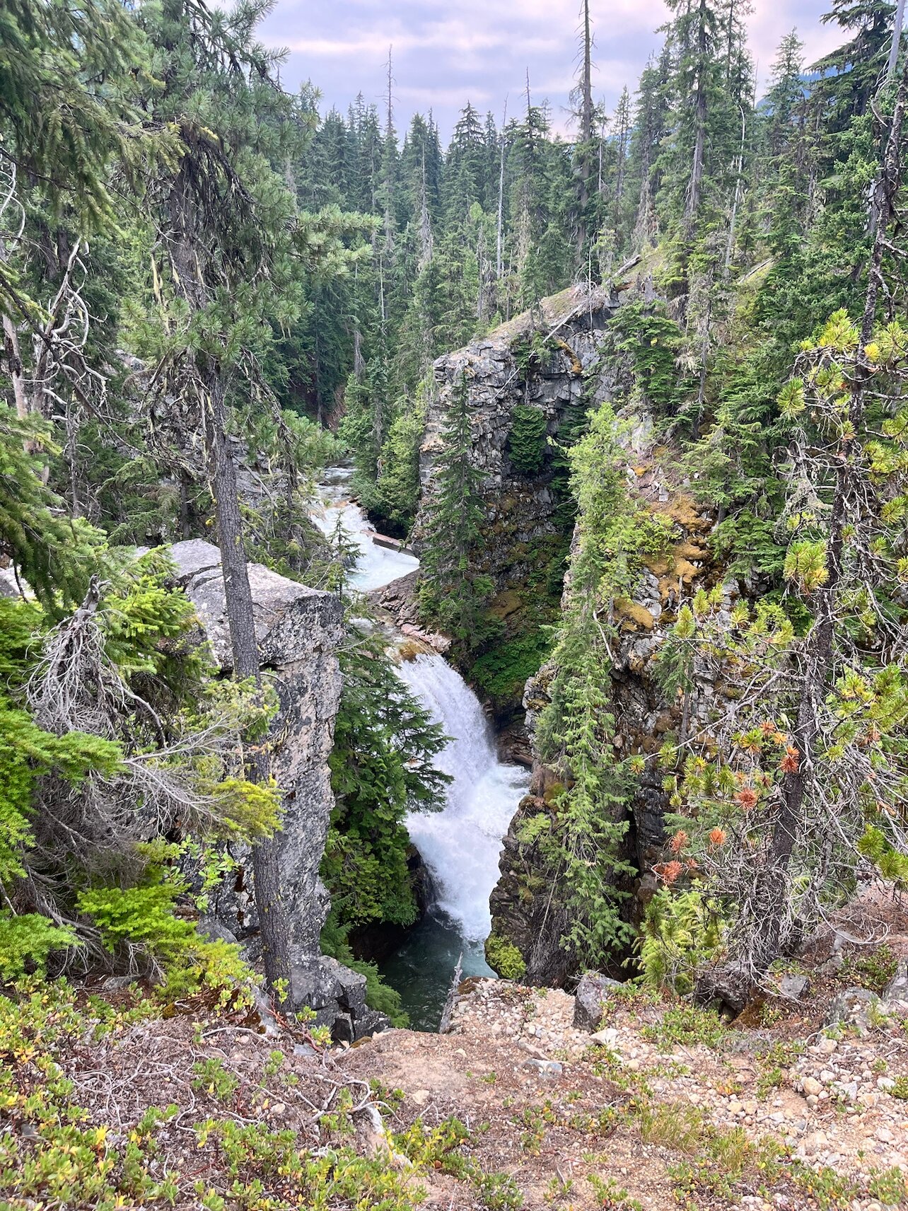
12:06 PM
Too bad cameras can’t really capture depth.
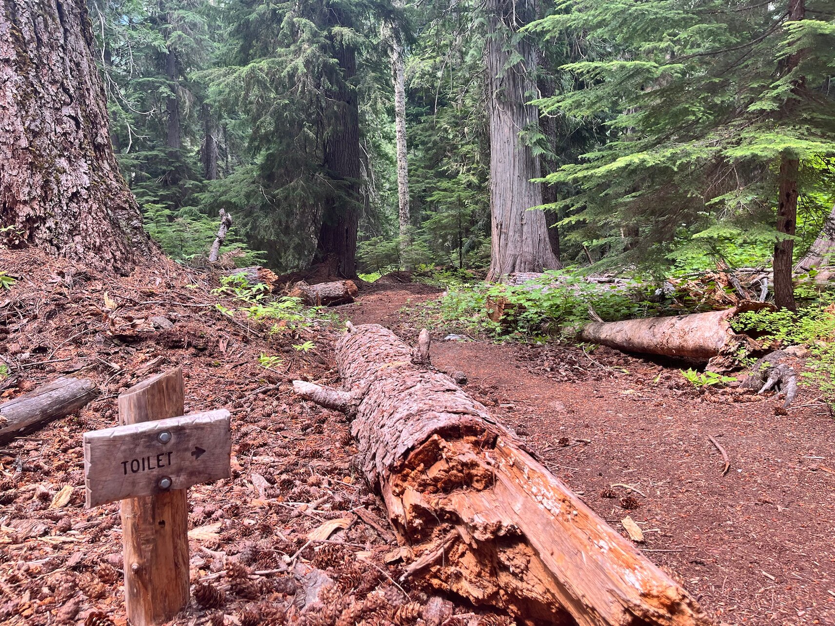
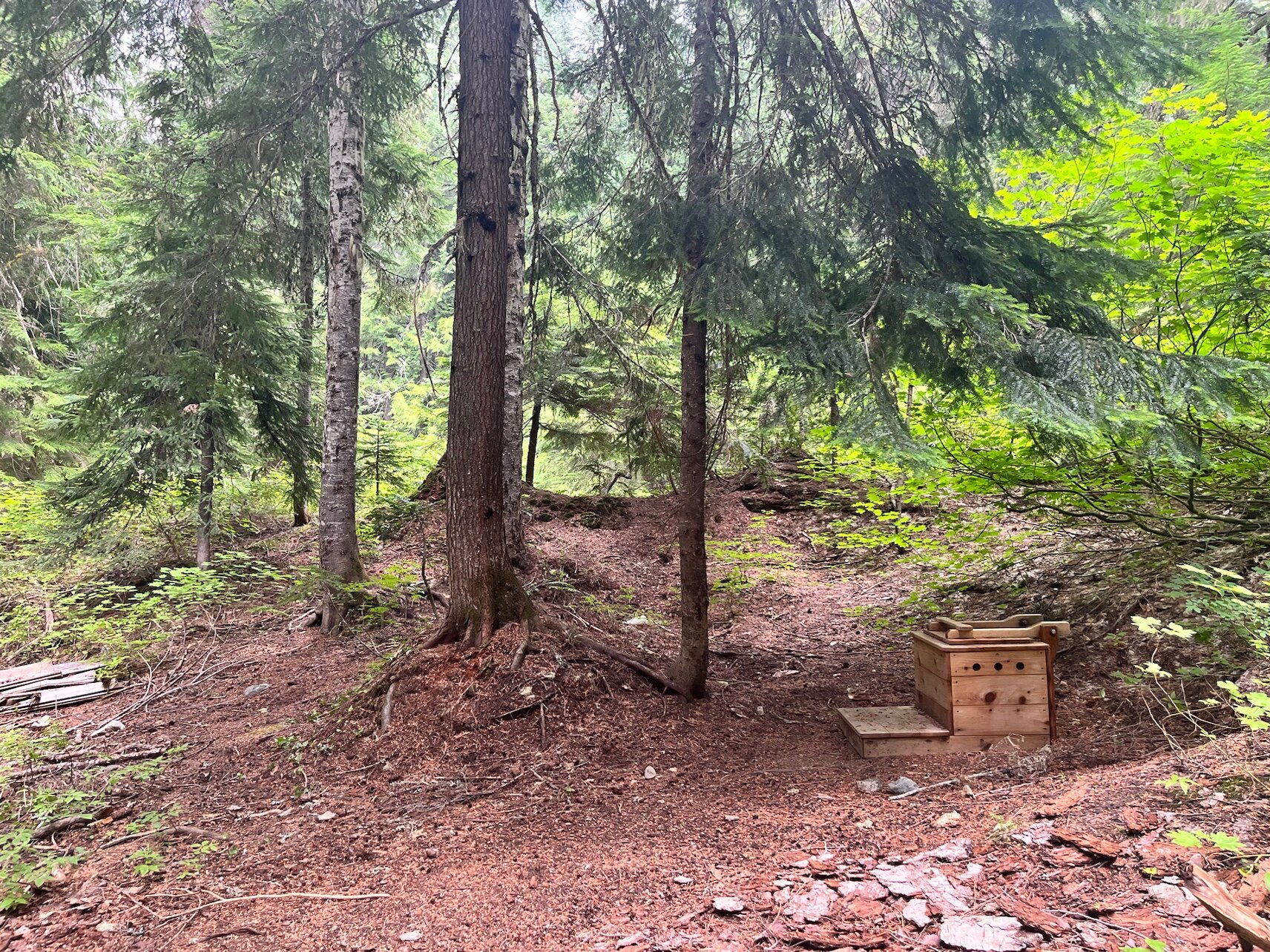
12:51 PM
Lunch spot—with a private toilet, no less.
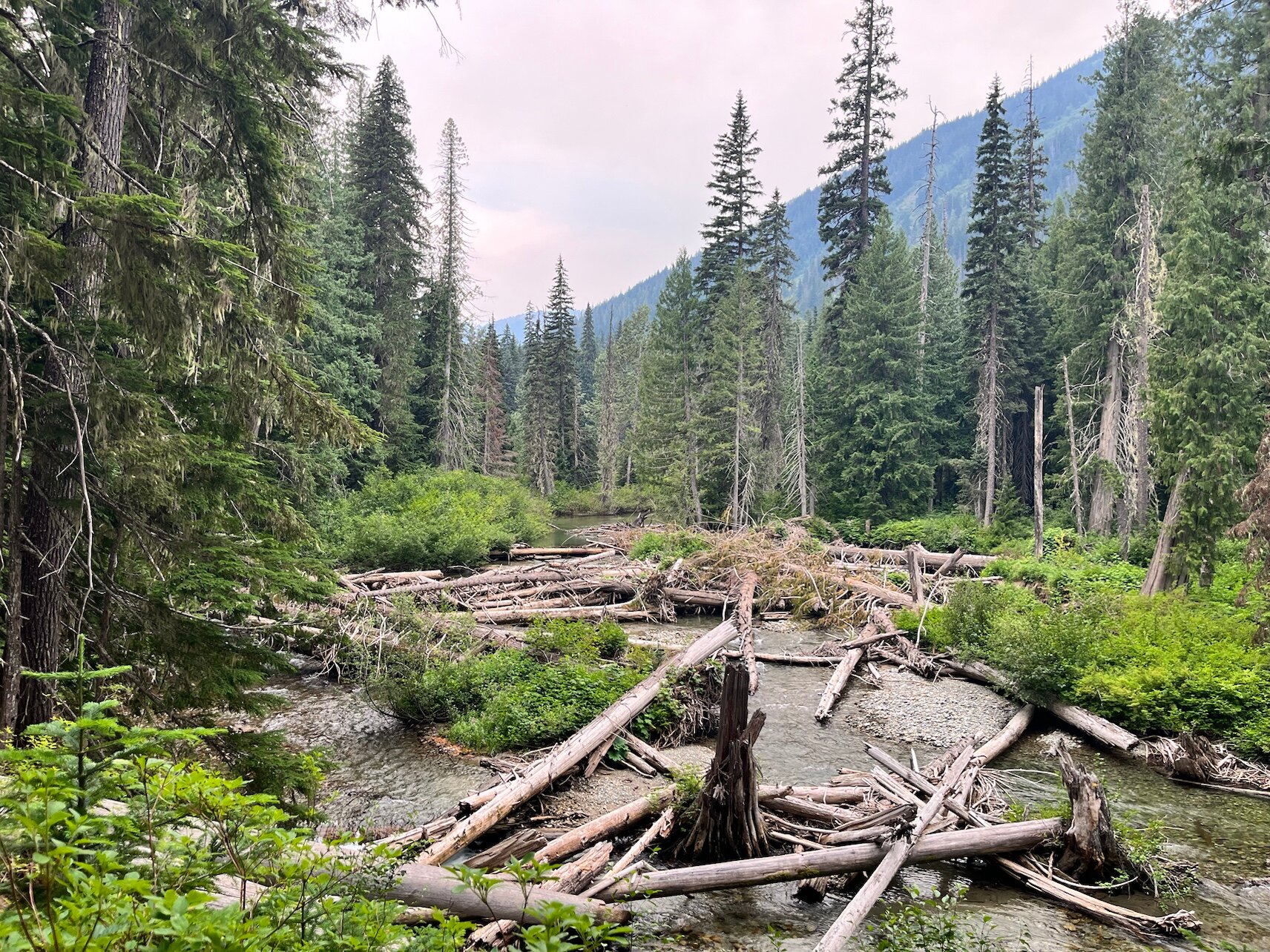
14:07 PM
The power of nature 🤔
14:44 PM
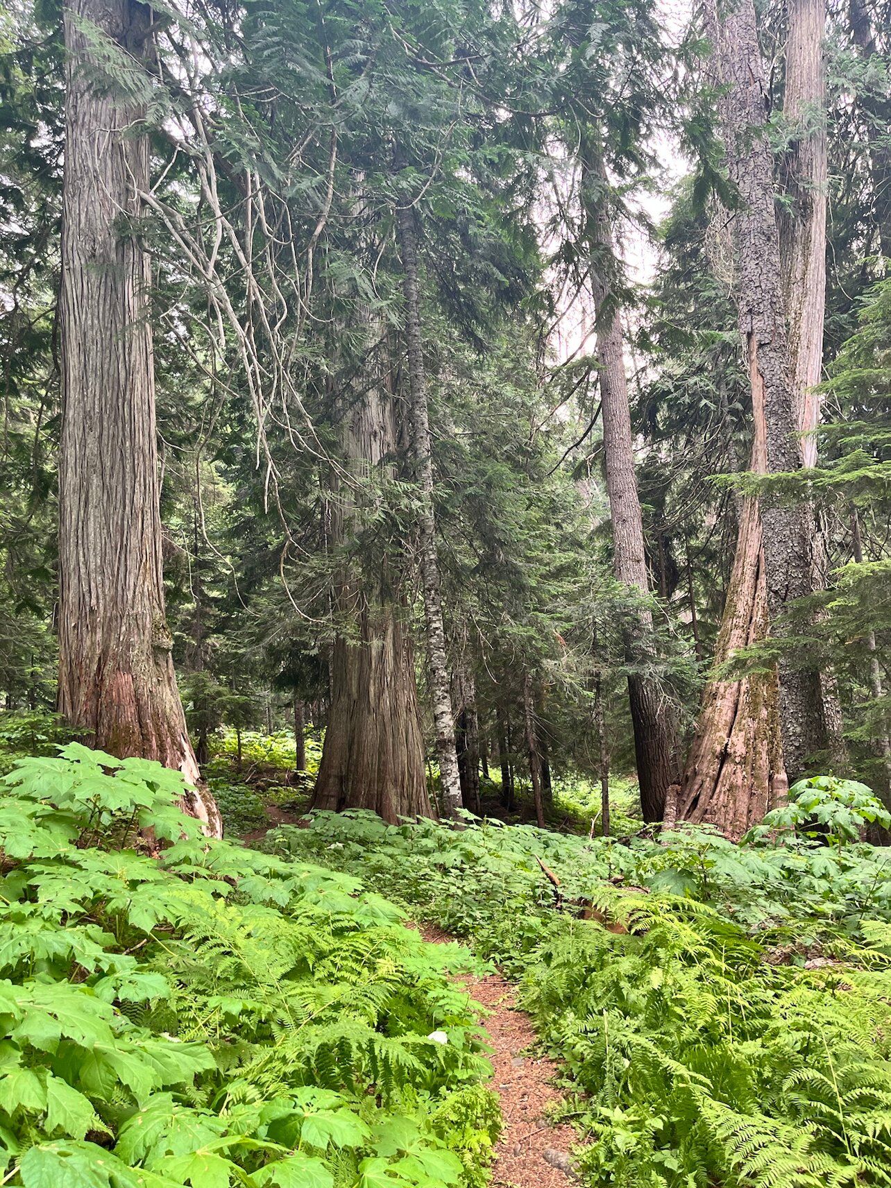
In some sections the trail is completely overgrown. You have to push your way through tall ferns and other vegetation.

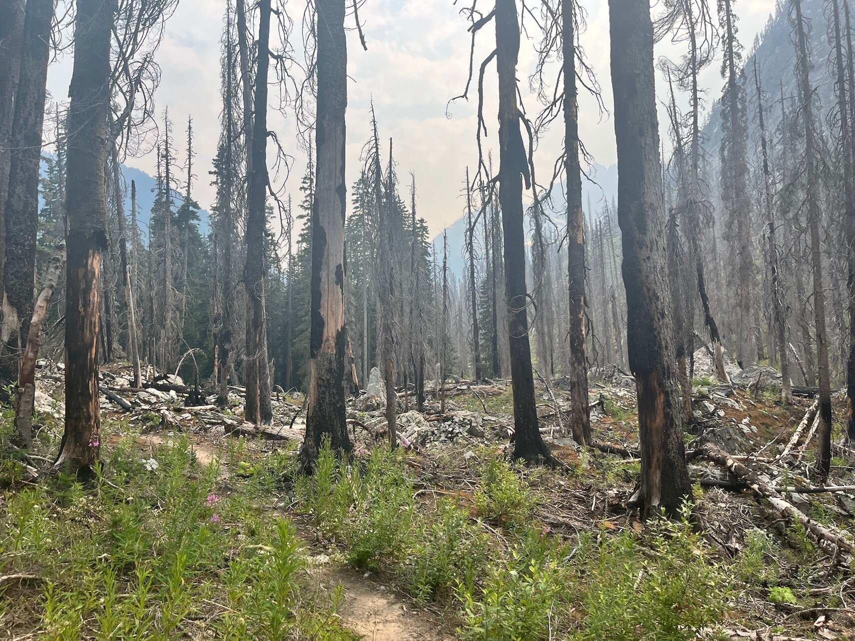
15:33 PM
What a bit of thunderstorm damage can do.
15:40 PM
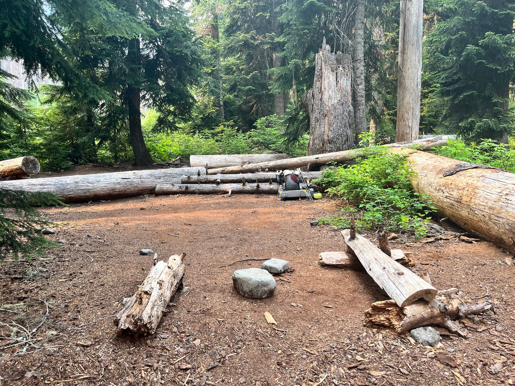
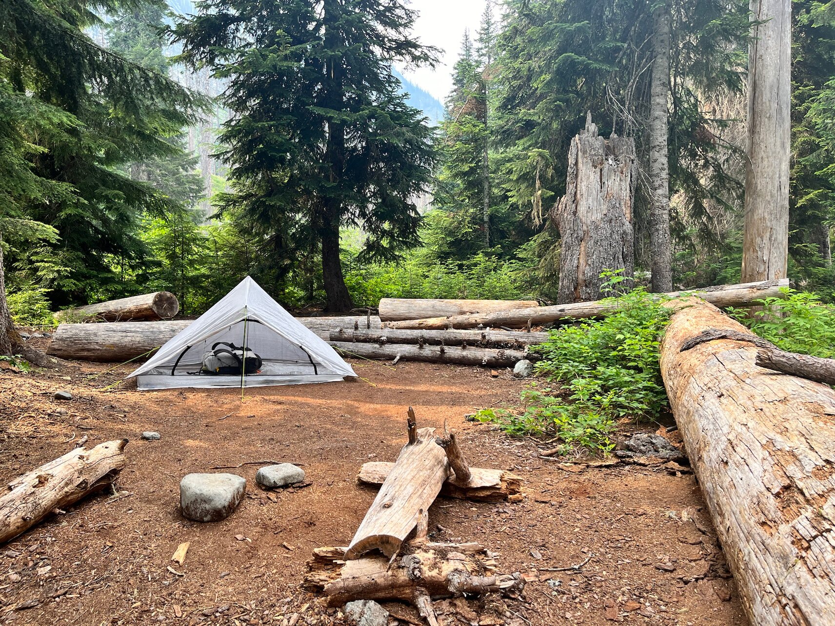
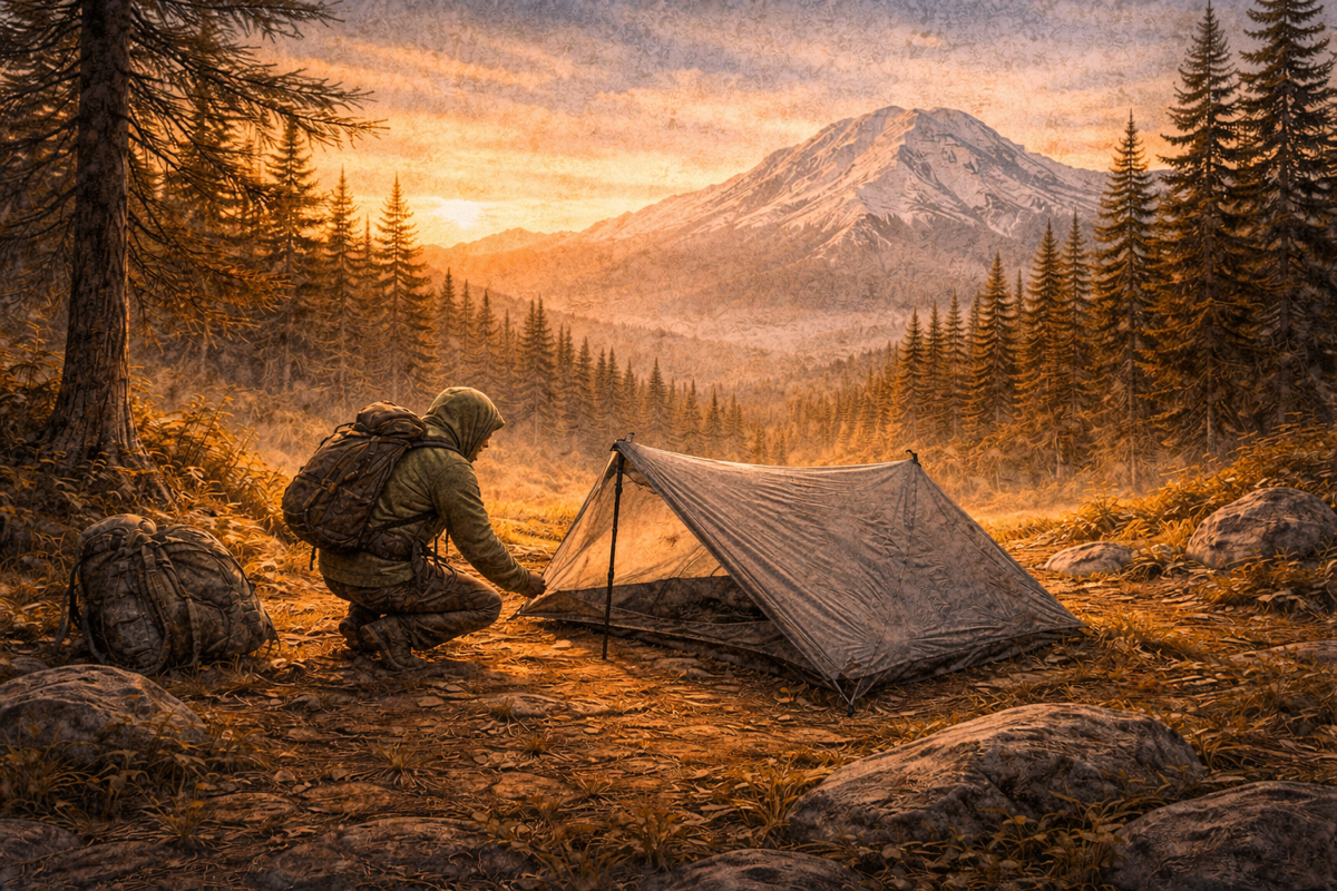
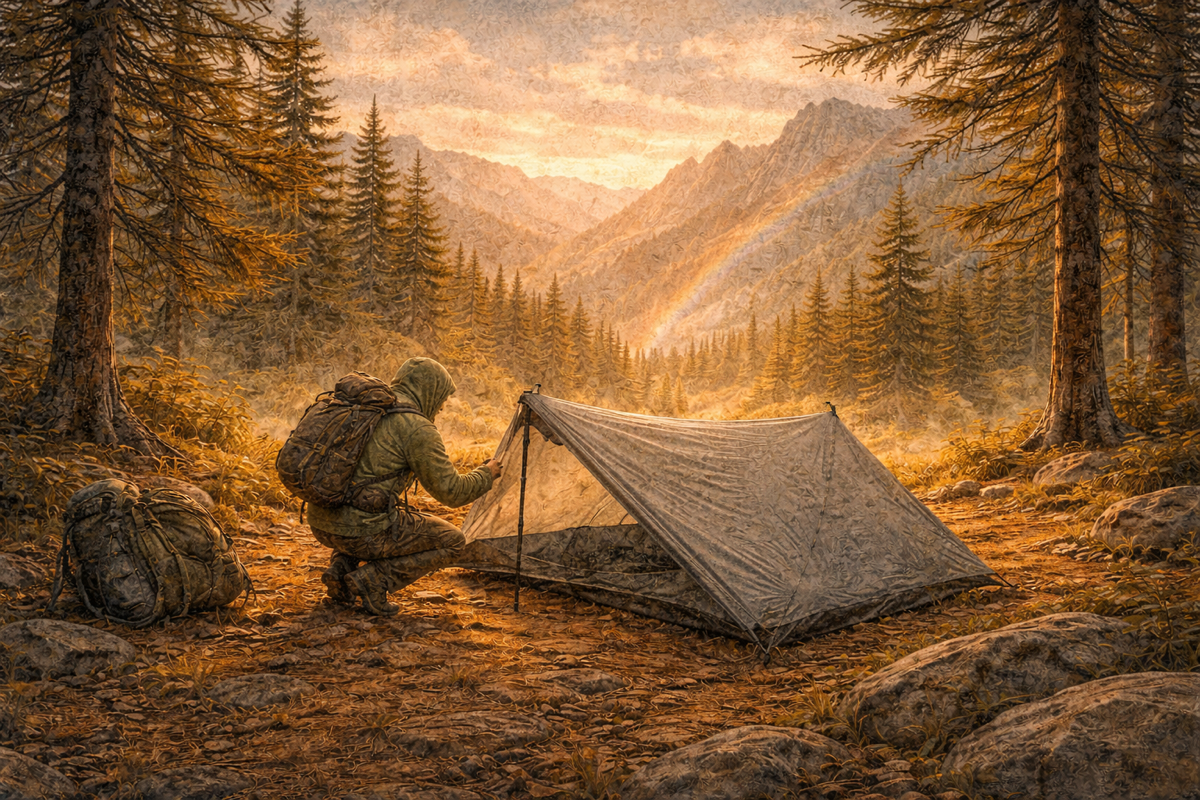
That’s enough for today. Tomorrow will be a solid climb up to Suiattle Pass (1,831 m).
Total: 20.35 km in 6 hours and 35 minutes
Elevation: 781 m up, 200 m down
A section hiker—a NOBO (northbounder)—stops to chat. She’s walking through Washington State to Rainy Pass, where her car is parked. We talk for an hour about gear, food, fallen trees, bushes, and carrying too much food. She even shows me all her meals—a ridiculous amount of weight. We have a great time laughing about how you want your gear as light as possible, yet still carry enough food.
She gives me a few different electrolyte flavors. I’m really done with lemon 😬.
She also has photos of the wildfire I’ll be passing tomorrow. Supposedly the fire has already burned itself out. She did see glowing embers floating through the air—and that’s the last thing you want landing on your tent.
subscribe for occasional stories from the trail

Member discussion